
Finding Who Lives on a San Pablo Street
A San Pablo street directory search should begin with a physical address and a jurisdiction check. Confirm that the address sits inside the incorporated boundary, then carry the parcel number through the county map, assessment information, deed index, and city permit system. Those sources can show a parcel, an owner, a transfer, a permit contact, or a dated public entry. They cannot turn an address into a complete list of everyone who lives there. Historical directories, newspapers, and a permitted voter-file request add household clues, but each has its own access rule.
- Check the USPS address result and the San Pablo incorporated-limits map before choosing a city custodian.
- Run the address or APN through ParcelQuest or CCMAP and write down the situs, APN, year, values, exemptions, and deed reference.
- Use the Assessor counter or request channel when owner or tax-mail fields are needed; the public web tools suppress owner names.
- Search RecorderWorks by party, role, date, document type, APN, book/page, or legal description, then follow the deed reference.
- Use eTRAKiT for city permits and code cases, and pair the current address with historical newspapers or directories for past households.
Verify a San Pablo Street Before Searching
San Pablo's street grid is crossed by city, Richmond, and unincorporated county pockets. A postal city is not a municipal boundary, so a street directory can point to the wrong permit or code office if the location is not checked first. USPS can standardize the delivery address, while the city's boundary map tells you whether San Pablo can answer a municipal request. The same distinction matters for police records, planning, and Residential Health and Safety cases.
Keep the address in three forms: the USPS delivery line, the physical situs, and the legal description or APN. If those do not align, pause before joining records. A nearby parcel can belong to another custodian even when its mailing city reads San Pablo.
Search San Pablo Parcels by Address or APN
ParcelQuest Lite is an address and APN bridge in the researched property workflow. Its public controls are deliberately narrow because it does not expose owner mailing information. Search by address uses a house number and street name; APN mode uses the Assessor's Parcel Number. The free tier permits 50 searches and 25 parcel maps each month, while reports or images can be purchased. Vacant land may require the APN rather than a street line.
| Search mode | By Address or By APN. |
|---|---|
| Address field | House Number and Street Name with the portal's autocomplete. |
| Parcel field | Assessor's Parcel Number for a direct parcel lookup. |
| Actions | Search and Clear, followed by parcel facts or a map. |
| What is missing | Owner name, owner mailing address, city filter, and ZIP-wide resident results. |
Write the APN down even when the street search works. It is the stable handoff to CCMAP, the deed reference, an Assessor counter request, and later legal-description checks. ParcelQuest is a parcel clue, not a household list.
Read a CCMAP Parcel Along the Street
The Contra Costa GIS viewer accepts an address or APN and lets a user click a parcel. Its layers include assessment parcels, county and city boundaries, General Plan, zoning, contours, hillshade, and a human-geography basemap. The popup can expose site or property address, APN, description or use, land and improvement values, Tax Rate Area, exemption codes, deed reference and recording date, lot area, year built, and links to a tax bill or parcel map. It does not show owner or mailing address.
San Pablo incorporated parcels need the city's zoning source because county zoning and General Plan layers focus on unincorporated land. A homeowner exemption is an owner-occupancy clue, not proof that the owner is the current household. Compare the popup with a deed or dated permit before writing a name into a street directory.
The Contra Costa CCMAP viewer is the source for the parcel layers described here.
The San Pablo incorporated-limits map is the source for the boundary image below.
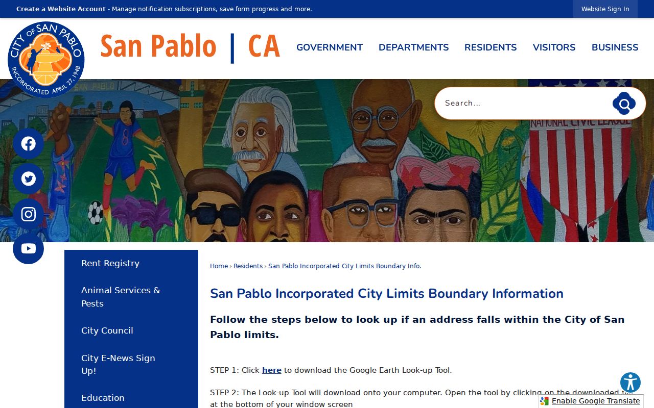
The boundary image makes the city and county split visible before the parcel chain moves to another office.
San Pablo Situs and Tax Mailing Addresses Differ
A situs address locates the land. A tax mailing address tells the Assessor where assessment correspondence goes. A legal description identifies the lot, block, subdivision, or other land unit. The ZIP code describes USPS routing. Four lines can therefore sit beside one parcel without describing the same thing. The Assessor sample bill exposes the APN, situs or legal description, assessee as of January 1, tax mailing address, assessed value, exemptions, net taxable value, and tax-rate area.
This distinction is the main reason a property owner cannot be called a current resident from a street directory result. Renters and other household members are not parcel fields. The tax bill can identify the next record to inspect, but it cannot settle occupancy. For protected owner data, use the Assessor counter or request path described in the research.
The Contra Costa Clerk-Recorder services page supplies the public records route used after the parcel check.
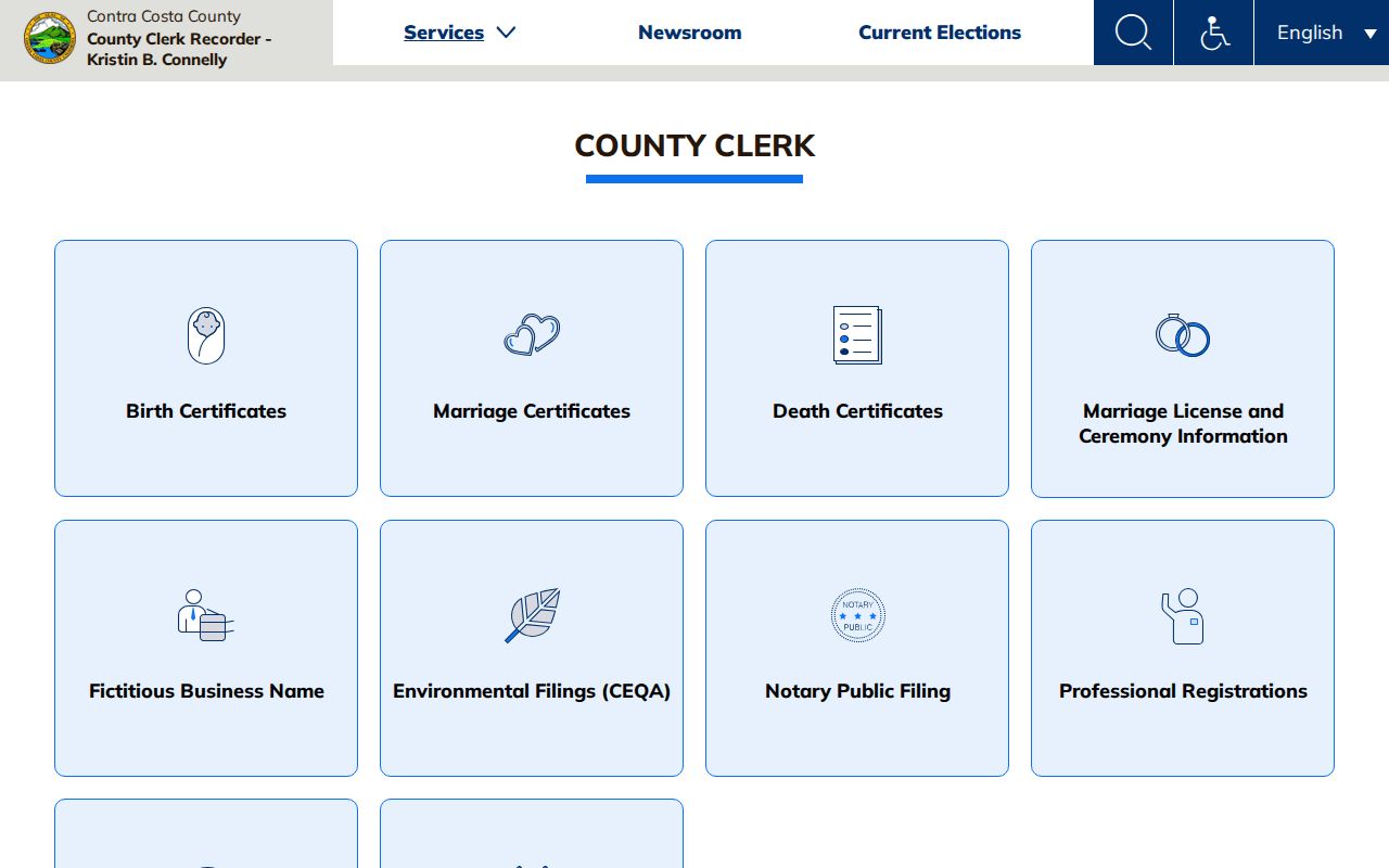
Use the service page to move from an address clue to the right county office instead of relying on a tax-mail assumption.
Turn a San Pablo Deed Reference Into a Chain
RecorderWorks is the deed and recorded-document index that links a street parcel to parties and legal land. Its displayed online name index runs from January 1, 1986 through August 14, 2026, based on the August 16, 2026 inspection. The record history reaches farther than that web cutoff: county records and research channels are verified back to 1849. Sequential document numbers began in 1980, older documents use book and page, and APN deed searching applies to deeds recorded March 3, 1997 forward.
Search by grantor or grantee, name, date range, document number, recording date, book and page, document type, APN, or legal description. The index is free to search. Regular and certified copies go through the cart or account. A common name can create false matches, so confirm the APN, legal description, date, and party role before stepping back to an earlier seller.
The grantor is the party transferring an interest; the grantee receives it. A chain of title is the linked sequence of transfers. A legal description is the durable land reference that can outlast a changed street number. These terms make the deed index useful for a street directory, while keeping its ownership purpose distinct from household evidence.
Open Contra Costa RecorderWorks for the live index path.
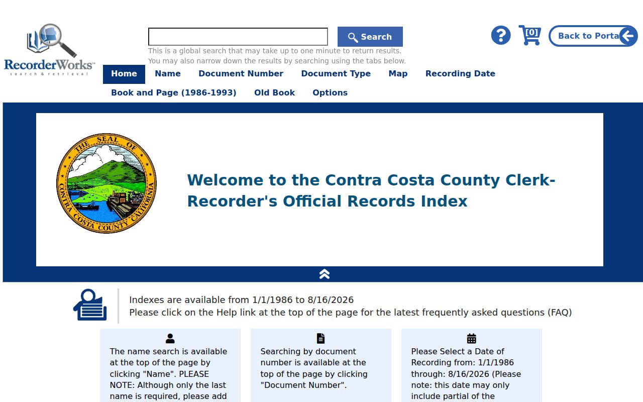
The index view is a finding aid; a copy or certified copy is a separate access step, and the document itself still needs a parcel match.
Search San Pablo Permits by Street Address
When the parcel is inside the city, eTRAKiT adds a dated municipal layer. Its modules cover Permitting, Planning/RHS, Business License, and Code Enforcement. Search is free without login. An account is needed for applications, uploads, and payments. The public record result can include Permit Info, Site Info, Contacts, Fees, Inspections, Chronology, Conditions, and Reviews. The street address is the bridge, but applicant and contractor contacts remain role-based evidence.
| Search By | Permit or case number, address, parcel, contractor, or applicant where the module exposes the choice. |
|---|---|
| Operator | Begins With, Contains, Equals, At Least, or At Most where displayed. |
| Results | Map On or Off, Print, Export to Excel, and 20 rows per page. |
| Coverage clue | Issued lists begin in 2018; finaled lists begin in 2020. |
Building, electrical, mechanical, and plumbing permits can date work on a San Pablo street. Code Enforcement, created in 2002, covers conditions such as vacant or dilapidated buildings, fire hazards, environmental crimes, abandoned vehicles, and street-sweeping enforcement. The direct Building Division contact is building@sanpabloca.gov and 510-215-3030, Monday through Thursday 7:30-4. Use these details to request an address record, not to infer a household.
Search the San Pablo eTRAKiT portal after confirming the municipal boundary.
Read a Historical San Pablo Street by Address
Older street evidence sits in a different shelf. Polk-style Richmond, San Pablo and Martinez directories support alphabetical name-to-address work, and later volumes may provide a reverse or criss-cross section. The researched 1912-1913 volume is verified bibliographically, but an official scan and a complete local criss-cross run were not located. Do not promise a year that the holding institution has not confirmed.
Pair a directory address with the 1910, 1920, 1930, 1940, or 1950 census, local newspaper film, assessor book, or deed. San Pablo's postwar small-lot growth and its pre-1948 county history mean that a modern street line may not be the best first key. The History Center's maps and tax books can bridge an address gap, while a directory absence may mean a move, a missed canvass, an abbreviation, or an unlisted household. The San Pablo city directory collection guide explains the historical shelf in more depth.
What San Pablo Voter Records Allow Along a Street
California and Contra Costa do not provide a casual voter-name browse for a whole street. The county and state status tools authenticate an individual with name, date of birth, and other identity fields. Voter-file access is controlled by Elections Code section 2194, and unauthorized use can trigger section 18109. A specific-voter request is different from a request for every person on a street.
A permitted data-file application must identify the applicant and beneficiary, purpose, organization, scope, format, specific voters where relevant, identification, agreements, and certification. Potential fields include residence or mailing address, party preference, status, registration date, precinct, districts, and participation history, but never ballot choices. Safe at Home records are handled confidentially, and list maintenance can change status after returned mail or confirmation steps.
Use the California voter-status tool for an individual check, not as a street directory.
The status form illustrates why voter data must be treated as identity-gated evidence rather than a public block list.
San Pablo Records Searchable by Street
Address-keyed sources form a chain, but each link has a different purpose. CCMAP supplies parcel geometry and the deed handoff. The Assessor counter can supply ownership and mailing fields that the public web view suppresses. RecorderWorks names parties to instruments. eTRAKiT dates city activity. Voter data is limited by identity and lawful-purpose rules. Historical directories and newspapers add past household clues. A good San Pablo street directory keeps those roles separate instead of collapsing every name into occupancy.
| Record Set | Keeper | What It Shows | Access |
|---|---|---|---|
| Property / tax roll | Contra Costa Assessor | Assessee, tax mailing, values, exemptions | Counter or request for protected fields |
| GIS parcel map | Contra Costa CCMAP | Parcels, APNs, values, deed reference, layers | Free interactive viewer |
| Deeds and liens | Clerk-Recorder | Grantor, grantee, date, type, legal land | Free index; copies separate |
| Voter information | County / Secretary of State | Authenticated status and election geography | Identity-gated or permitted file access |
| Building and code cases | San Pablo eTRAKiT | Address, scope, dates, status, role contacts | Free search; city parcels |
The APN ties the parcel map to the deed reference and property inquiry. The situs address ties the parcel to permits. The street name helps a researcher find the right directory or newspaper issue. None of those handoffs changes the source's purpose: the owner field is not a household field, and a permit contact is not a resident result.
San Pablo Street Evidence Has Different Weight
For address research, the question is not which source looks fullest. It is which source was made to answer the question. A deed is strong evidence of a recorded transfer. A parcel map is strong for geometry. A permit is strong for dated work or a role contact. A historical directory can show a householder or adult entry for a publication year. A voter status result confirms an authenticated record, not a public list of neighbors.
| Question | Best street source | Reason to check another source |
|---|---|---|
| Where is the parcel? | CCMAP and boundary map | Jurisdiction may change across an adjoining parcel. |
| Who took title? | RecorderWorks deed index and copy | Title transfer does not prove occupancy. |
| What changed at the site? | eTRAKiT permit or code case | Contact roles may be redacted or temporary. |
| Who appeared in an older household? | Directory, census, newspaper, or obituary | Publication gaps and address changes need a land-key bridge. |
What a San Pablo Street Directory Cannot Show
Renters, household members, utility customers, and many protected residents are not indexed as a complete public street list. DMV address data is protected by the Driver's Privacy Protection Act. Contra Costa suppresses owner names online, and the voter tools require identity checks or a permitted file purpose. A street directory can connect public record fragments, but it cannot certify who sleeps at an address today.
Lawful use. San Pablo street and address records can support family history, a house-history project, civic research, or personal safety awareness. Using them to stalk, harass, threaten, or intimidate anyone can violate California law. Stop when the lawful purpose ends, and ask the custodian about a correction or confidentiality process instead of trying to expose a protected address.