
San Pablo Neighbor Sources by Block
A block search works best as a stack of narrow sources. CCMAP supplies parcel geometry and a deed handoff. The Assessor supplies public roll assistance through its counter or request channel. City permit records date work, while voter data and community rosters follow separate access rules. No single source is a complete list of San Pablo neighbors.
| Source | What It Shows About a Block | Access |
|---|---|---|
| CCMAP parcel viewer | Adjoining polygons, APN, site, year, values, exemptions, and deed reference | Free map; no owner names |
| Assessor roll | Assessed owner and tax mailing information for a selected parcel | Counter or request; radius service available |
| San Pablo eTRAKiT | Permit, planning/RHS, business-license, and code-case activity by address | Free search; no login for searching |
| Recorded deeds | Grantor, grantee, recording date, document type, and legal land description | Free index; copies through the Clerk-Recorder |
| Voter information | Authenticated status or authorized file fields, not a casual nearby-name list | Identity-gated or permitted-purpose access |
| Community directories | Only voluntarily published group information; no verified public member inventory was found | Private or organization-controlled |
Parcel records point to ownership clues, not every person in a household. A tax mailing address can differ from the situs, and an assessed owner may not be the person who uses the parcel each day. Previous residents, non-owner household members, and protected participants need different sources or may not be publicly identifiable.
Click Adjacent San Pablo Parcels in CCMAP
The exact CCMAP ArcGIS property application accepts an address or APN, then lets a researcher click polygons one at a time. The current app has no configured public proximity or buffer widget, shown by enableProximitySearch:false. Use the map's Measure tool for a visual distance, then open each adjoining parcel rather than assuming a radius result.
- Search the starting address or APN and write down the site address, APN, deed reference, year, and parcel traits.
- Zoom to the boundary and click each adjoining polygon, including parcels across a street or alley.
- Use Measure to mark the distance or block edge when a visual comparison is useful.
- Take the selected APNs to the Assessor counter or request channel when assessed-owner information is needed.
- Use RecorderWorks for a selected deed, and eTRAKiT only when the parcel is inside San Pablo's city record jurisdiction.
This creates a practical flow: address to APN, APN to adjoining polygons, polygon to public roll request, and selected APN to deed or permit. For a full named-street chain rather than the immediate block, use the San Pablo street directory workflow.
San Pablo Parcel Popups and Neighbor Limits
A CCMAP popup can show the site or property address, APN, description or use, land, improvement, and personal-property values, tax-rate area, exemptions, lot size, year constructed, deed reference, and recording date. It can link to a tax bill and parcel map. It does not show owner names or mailing addresses. The public web limit is deliberate, so an adjacent-polygon click is a parcel map step, not a name lookup.
The Assessor prepares the annual roll and keeps more than 12,000 assessment maps. Counter services include an assessed-property radius search for $50, a property printout for $1 per page, characteristics for $7.50 per parcel, and other published map or mailing charges. These are office services, not a configured CCMAP buffer tool. Ask the custodian for the current fee and protected-field handling before ordering.
- APN
- The assessor's parcel number used to tie a mapped lot to assessment and deed references.
- Situs
- The physical parcel address, which can differ from a tax mailing address.
- HO exemption
- A homeowner-exemption clue on a parcel record, never proof of who currently lives there.
- Deed reference
- A map handoff that points from the parcel record toward a recorded instrument and date.
A San Pablo Block Can Cross Jurisdiction
Adjacent does not always mean same custodian. A parcel beside a San Pablo address can fall in Richmond or unincorporated Contra Costa County. That changes which office holds permits, planning material, code cases, or police records. Check the San Pablo incorporated-city boundary map before treating a neighboring polygon as a city record.
The postal label can mislead too. San Pablo's 94806 delivery area extends beyond the incorporated boundary, and the city identifies Rollingwood, Tara Hills, Bayview, and Montalvin as unincorporated areas that can use a nearby-post-office city name. A block map and a postal address answer different geography questions.
Note: Confirm the governing boundary before sending a records request, because a nearby parcel may belong to a different public custodian.
San Pablo Permits Date Block Changes
San Pablo eTRAKiT exposes Permitting, Planning/RHS, Business License, and Code Enforcement modules. Public searching does not require login. Depending on the module, Search By can use an address, parcel, permit or project number, case number, applicant, or contractor. Address operators can include Begins With, Contains, Equals, At Least, and At Most.
Results can open Permit Info, Site Info, Contacts, Fees, Inspections, Chronology, Conditions, and Reviews. Issued lists begin in 2018, and finaled lists begin in 2020. Code Enforcement was created in 2002 and covers abandoned vehicles, vacant or abandoned buildings, dilapidated buildings, fire hazards, environmental crimes, and street-sweeping enforcement. The direct unit number is 510-215-3190. Permit and code entries date a parcel event, not a complete San Pablo block-resident roll.
San Pablo Voter Status Limits
Contra Costa My Voting Information and the California voter-status tool are identity-gated. They ask for first name, last name, date of birth, and portal-dependent identity information. They are not public name-browse tools and cannot produce a casual list of everyone near an address.
Elections Code section 2194 makes registration information confidential in general and limits release to election, governmental, scholarly, journalistic, or political purposes. Section 18109 penalizes unauthorized use. A statewide specific-voter request is different from a street-wide request, requires an approved purpose and application controls, and excludes protected voters and identifying fields such as driver-license, state-ID, Social Security, and signature data.
Use the county or state form for a person's own status. A specific-voter file request needs the permitted purpose, application, identification, and use agreements. A request for everyone on a block is a data-file request, not a casual neighbor lookup.
San Pablo Neighborhood Labels
No current city-maintained inventory of San Pablo neighborhood associations or HOAs, and no public member directory, was verified. Old Town, Rollingwood, El Portal, Brookside, Bayo Vista, Hillcrest, Davis Park, and St. Joseph Cemetery are geography or landmark labels in the research material, not verified association names. A map label should not be turned into a roster.
| Community layer | Verified public position |
|---|---|
| Associations and HOAs | No current public inventory or member directory was located. |
| Congregation and block-watch rosters | Membership information stays private unless an organization voluntarily publishes it. |
| Neighborhood labels | Useful geography clues, not proof of an association or a person's membership. |
For a civic question, ask the relevant organization directly or use a focused public-record request. Do not infer a person's group membership from a parcel, map label, permit, or newspaper mention.
San Pablo Police Records Limits
The San Pablo Police Records channel is the proper starting point for an incident or accident request, not a way to enumerate nearby households. The records line is 510-215-3130, Monday through Thursday, 6:30 a.m. to 5 p.m. Victim, juvenile, medical, investigative, address, and other protected material may be redacted by the law-enforcement custodian.
The official police-records doorway is useful for checking the right custodian when a block question concerns a documented event.
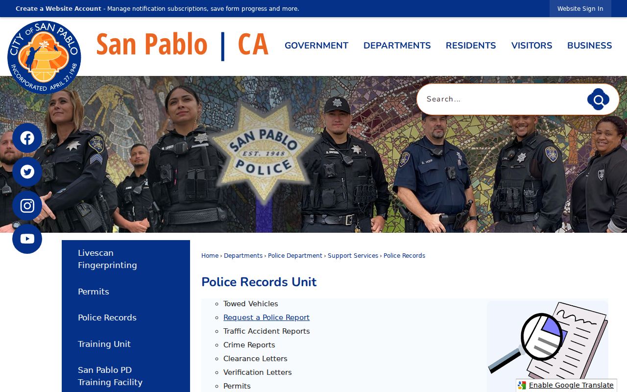
A police record can establish that a report exists and may supply a date or incident number. It does not reveal unredacted household membership or turn a block into a public neighbor list.
San Pablo Megan's Law Layer
The official California Megan's Law site offers name, address, map, and radius modes within its legal publication rules. Its data comes from local registration and is updated daily, but public display differs by registrant. Some records show a full address, some show a ZIP or community, and some are omitted from the public map.
The official search interface makes the publication limits visible. Treat an entry as status-at-a-time information, follow the site's legal-use warnings, and verify urgent facts with the responsible agency.
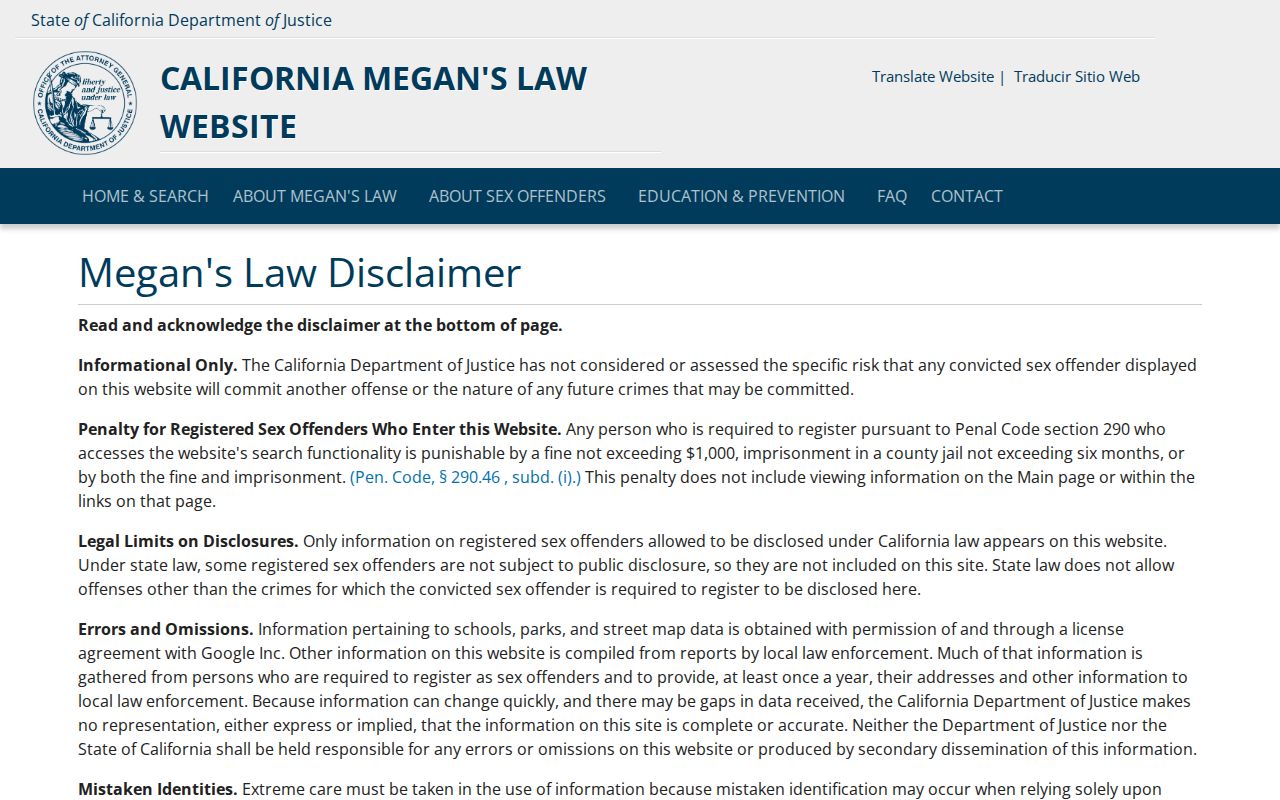
A mapped result is a regulated public record layer, not proof that every person in a nearby parcel is known or listed.
San Pablo Official and Compiled Rolls
Official sources answer narrower questions and identify the custodian behind the record. Commercial compilation tools may merge public, marketing, telephone, property, and other data, but freshness and identity matching vary. Use the comparison to keep a convenient lead separate from evidence that can be checked at the source.
| Official record layer | Compiled profile category |
|---|---|
| CCMAP shows parcel geometry, APN, values, exemptions, and deed reference, with no owner names online. | A commercial profile may combine parcel and contact clues without showing a reliable custodian or update path. |
| Assessor, deeds, and eTRAKiT each have a defined record purpose and access channel. | A compiled page can blend record types and may not distinguish a tax mailing address from a physical address. |
| Voter, police, and protected-address systems impose separate legal limits. | A commercial category is not an official voter, police, deed, or certified record. |
Check a lead against the public custodian, the record date, and the parcel or case number. Do not treat a compiled profile as proof of who your San Pablo neighbors are.
DROP Protects San Pablo Privacy Choices
California's CCPA gives covered consumers rights to know, access, delete, correct, opt out of sale or sharing, and limit certain sensitive-information uses, subject to exceptions. The DELETE Act created DROP, an encrypted request channel that reaches more than 500 registered data brokers. Early 2026 reporting counted more than 225,000 enrollments, and brokers begin processing deletions August 1, 2026.
The state privacy portal provides a path for a resident to verify California residency, choose identifiers, submit the request, save confirmation, and check again later. DROP does not erase a deed, assessment roll, court file, or other government record, and public facts can be reacquired.
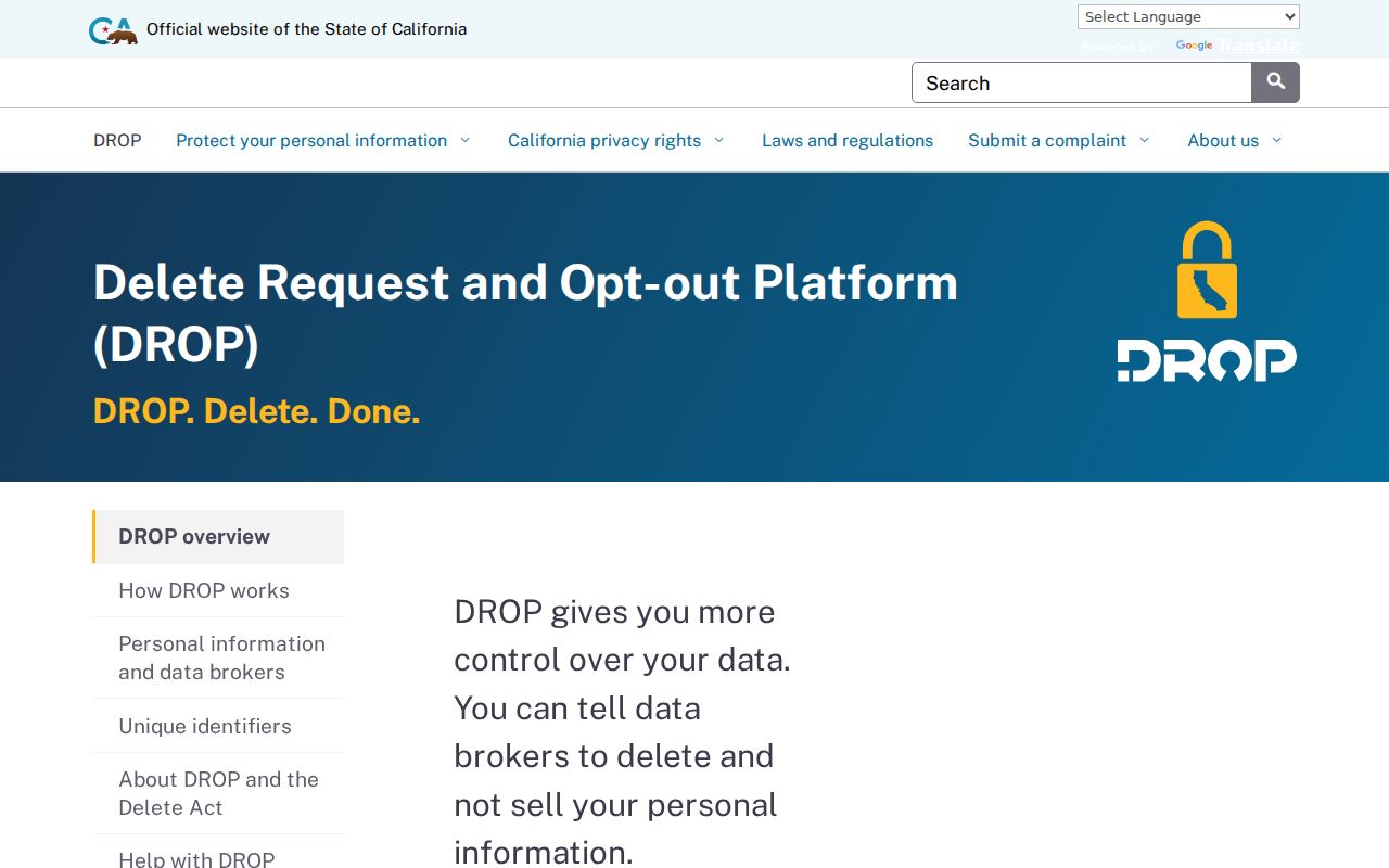
Protected residents can also use California Safe at Home, which provides a substitute mailing address and confidential forwarding for eligible participants. It does not retroactively delete historic records.
Privacy Limits for San Pablo Neighbors
Non-owner household members, utilities, delivery records, DMV addresses, and protected home addresses are not open block fields. Safe at Home can shield eligible participants, while voter access is governed by Elections Code section 2194 and DMV data by the federal Driver's Privacy Protection Act. A missing name is not proof that no one lives nearby.
Use parcel clicks for geography, the Assessor for the public roll, deeds for selected transfers, eTRAKiT for city activity, and an authorized election or law-enforcement channel only for its stated purpose. Keep the result tied to a date, parcel, or case and avoid drawing a personal conclusion from one record.
Lawful use. San Pablo neighbor research is for getting to know a block, reconnecting, civic curiosity, and personal safety awareness. California law does not permit using records to watch, stalk, harass, threaten, or intimidate another person.